 Place
Place
Helen Lake Trail
Helen Lake Trail is a continuation of the Elizabeth Lake Trail. Hikers travel south along the shoreline of Elizabeth Lake. This is an easy, picturesque trail as...

Search across regions, routes, places, stories, and events — by season, by intent, or by the kind of road you want to be on.
Filtered by your selections.
Place
Helen Lake Trail is a continuation of the Elizabeth Lake Trail. Hikers travel south along the shoreline of Elizabeth Lake. This is an easy, picturesque trail as...
 Place
Place
Length: 1.6 miles Trail Beginning: Junction of Trail 415 Trail End: Holland Falls Holland Falls is a popular, easy day hike located near Holland Lake. The trail...
Place
Hub-Hazel Lakes Trail (280) is a short connecting trail between Ward Creek and Eagle Peak. Several sections of steep trail make this a moderate to difficult cli...
Place
Huntsberger Lake Trail has fantastic views of the lake and surrounding area. Huntsberger lake has great fishing. Length: 6.1 miles. Moderate to high difficulty....
 Place
Place
Lake Josephine Trail is accessed by a paved footpath from the upper Swiftcurrent boat dock and runs west to the foot of Lake Josephine where it continues around...
Place
Kootenai Creek Trail (53) is maintained every year. Trail classified as moderate. High stock and foot use on this trail. The trail is open for the following use...
Place
Lake Como National Recreational Loop Trail extends around the lake for 7 miles and includes a pack bridge across Rock Creek. Trail is popular for hiking, day us...
Place
Lightening Windfall Trail (620) is a hiker's hike but well worth the effort for the many views. It's a high country ridgetop trek. Remember to take drinking wat...
 Place
Place
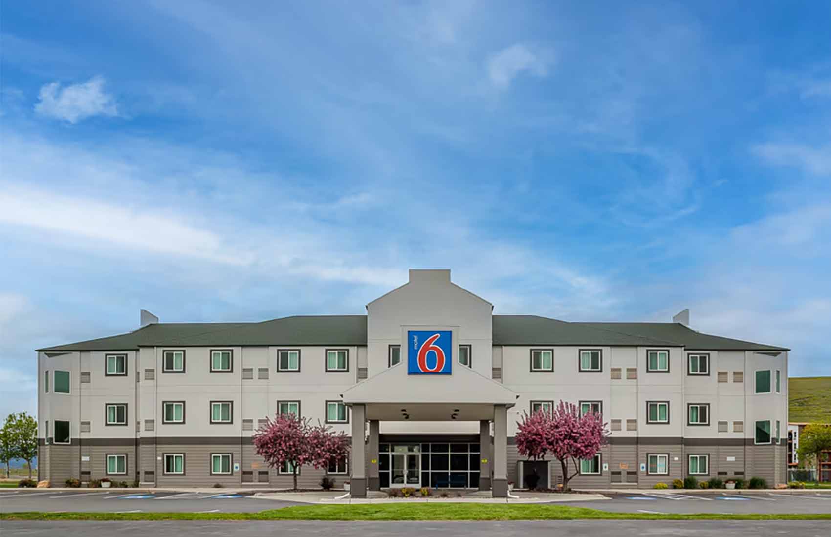
Motel 6 is modern, 3 stories, with interior corridors and elevator. ADA room available and coffee and tea are available in the lobby.
Place
Length: 8.8 miles. High difficulty. Trail Begins: Forest Road 114 Destination: Mt. Hefty and Thoma Lookout, Canadian border Elevation Gain 3260 ft. Mount Hefty....
Place
The elevation gain along Mt.Thompson - Seton Trail is 3,120 feet. Season is summer through fall. Special attractions include third highest peak in the district,...
Event
Amazing Place Music presents Brooklyn-born and raised Broadway Star Capathia Jenkins, "On The Stage" for an intimate evening of incredible singing, storytelling...
Place
The Palisade trail is 4.9 miles long. It begins at Forest Road 1348 (Willow Mountain) and ends at Forest Trail 86 (Skalkaho-Gird). This trail skirts the norther...
Place
Place
Ralph Thayer Memorial Trail (26) offers exceptional views of Flathead Valley, Cabinet Mountain Range and Glacier National Park. Designated National Recreation T...
Place
Review Mountain Trail (113) offers outstanding views of Canada and Glacier National Park. The elevation gain on this trail is 2,641 feet. This trail provides a....
Place
Distance: 3.5 miles Trailhead: Trailhead at Pattee Canyon Recreation Area Trail Ends: Loop The Sam Braxton Trail is named after a well-known Missoula skier, bic...
Place
Smokey Range Nature Trail is a designated National Recreation Trail with exceptional views of the Flathead Valley, Cabinet Mountain Range, and Glacier National....
Place
St. Mary Peak Trail (116) is maintained every two years. The St. Mary Peak trail is 3.8 miles long. It begins at Forest Road 739 and ends at St. Mary Peak Looko...
Place
Stanton Creek Trail offers outstanding and seldom seen views of Glacier National Park, the rugged Middle Fork Divide, and Hungry Horse Reservoir. Hike up the St...
Place
Sue Lake Obeservation Point Trail is a short (0.4 mile) steep hike to the top of Mount Kipp. From the crest, there are excellent views of the Sue Lake basin and...
Place
Tin Cup Creek Trail (96) is in excellent condition. The early part of this trail is notable primarily for the pleasant forest, varied plant life and easy walkin...
Place
Trapper Peak looms over the parking lot for Trapper Creek Trail (598). That sets the tone for the whole day's hike, as North Trapper on one side of the drainage...
 Place
Place
Trapper Peak Trail (133) is maintained every two years. Difficult, steep trail that gets moderate to high use. The climb to Trapper Peak, the highest peak in th...